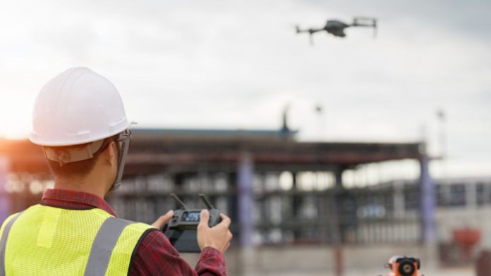
It could be a wise move. Drone roof inspections offer an efficient and cost-effective way to check the condition of your home’s roof. Typically, a full-scale aerial inspection using drones can provide detailed visuals of any issues with your roof that might need repair. Drones are also able to access areas of your roof that may otherwise be difficult for an inspector to reach, like steep slopes or hard-to-reach corners.
Not only will you get peace of mind regarding the condition of your home and potentially save money on expensive repairs down the road, but a drone roof inspection can provide valuable insight into the overall condition of your property from an aerial perspective in just minutes – far faster than traditional methods. In addition, drones are generally more affordable than hiring a professional inspector who needs to climb onto your roof for an assessment.
Is drone photographic data accurate?
This is a question of increasing importance with the rise of unmanned aerial vehicles (UAVs) in both commercial and military capacities. Drones have become essential for capturing vast amounts of data to collect insights on various aspects of our lives and environments, from detailed topographical maps to architectural blueprints. With the advent of drones, it has become easier than ever to access high-quality digital photography from different angles and perspectives.
A study recently found that drones used without survey control using RTK equipment can be expected to deliver map model accuracy to within 2 cm on the x,y axis and 6 cm on the z axis. This is a significant step forward in drone mapping technology, as it enables greater precision than was previously achievable.
Ground Control Points (GCP) are crucial tools in the field of geospatial surveying, allowing surveyors to quickly and accurately determine the locations of objects on the earth’s surface. GCPs provide a reference point for determining points that may be otherwise difficult to measure, as they provide an anchor point with known coordinates. By using GCPs in their surveys, surveyors can significantly reduce errors as compared to other methods.
GCPs rely on Global Navigation Satellite Systems (GNSS) technology to accurately pinpoint their positions. This GPS-based system provides highly precise results and ensures that each GCP is located precisely where it should be. Additionally, by using multiple GCPs within a drone survey area, surveyors can further ensure accuracy by eliminating errors due to individual inaccurate readings or equipment malfunctions.
Drone surveys are becoming increasingly accurate by the day. With the advancement in technology, surveyors are able to utilise aerial drones to capture more detailed and precise data than ever before. This data can be used to create highly accurate maps and 3D models for a variety of purposes, such as planning development projects or creating topographical data for environmental studies. Drones can also provide valuable information on land management, soil analysis and even infrastructure monitoring with greater accuracy than ground-based surveys.
Not only is drone data more accurate than traditional surveying methods, it is also faster and cheaper. By eliminating the need for expensive aircrafts or helicopters, surveyors are able to capture images quickly at a fraction of the cost. By using lightweight drones that can be launched from any location, high resolution maps can be created with minimal effort and maximum efficiency.


