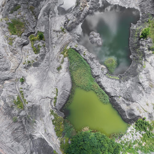
The geophysical survey or the GPS survey consists of the implementation of the geophysical methods, which will indirectly determine the geological as well as the structural, physical, and mechanical characteristics of the soil foundation. You can get geophysical survey services for determining the thickness, layout, and properties of the individual layers under the terrain surface. It is where the construction planning of a specific structure is done.
These geophysical surveys are done from the soil’s surface, through boreholes, excavations, or by placing the sources and the detectors. The scope of the survey, the work, and the types of works depend on the purpose of the survey, accessible funds, and the geological and topographic conditions.
Geophysical surveys will provide significant time and economic savings and offer data on the larger volumes of the soil and the rock mass than the conventional soil and rock mass survey. Generally, there are the following types of geophysical methods:
- Magnetic methods.
- Electromagnetic methods.
- Seismic methods.
- Georadar.
- Electrical methods.
Let us look at the description which is commonly used for the geophysical methods:
Seismic Refraction
When you get geophysical survey services, you will come up with the term seismic refraction, which is based on measuring the propagation time, from geophones sources, via the subsurface of the geological structures. The break and bounce of the waves at the material boundaries of the different densities and the deformation parts.
The seismic wave is produced on the surface by hitting the hammer or using the vibrator. The arrival of the wave on the surface will then be detected with the help of the sensors.
Seismic refraction will measure the time of the wave which travels through the source to the layer of the different density, with the back and layer of the geophone. The geophone’s placing the direction will provide the 2D profile of the wave propagation velocity. To get the 3D velocity profiles, several geophone lines will be placed on the terrain grids.
In other words, when you get geophysical survey services, the seismic refraction will be used when the sallower soil depths of the foundation soil are analysed to determine the zones of the wear.
Seismic Reflection
Seismic reflection and seismic refraction are done by measuring the propagation time of seismic waves’ elasticity. The contrast between these methods is that the seismic reflection will measure the seismic wave time, which is vertically reflected on the surface of the varying density and travels of the geophone. The seismic wave generation will be the same as the seismic refraction.
The seismic reflection will be used when the greater soil foundation depths are examined for determining the caverns and faults.
SASW
SASW is the abbreviation of the spectral analysis of the surface; it is a seismic method developed for determining the elastic modulus of several materials and changing these modules with greater depth.
Based on the waves’ characteristics, the technique will move along the surface of the terrain in horizontal and vertical directions, and it will cause the soil particles’ motion.
The source of the wave will rotate the mass oscillator or another source of the dynamic strike, which will cause the oscillations. With this, the detection of the wave by the geophones placed on the surface of the terrain will measure the arrival time of the wave. The velocity profile of the shear waves in the soil is obtained from the oscillator frequency and wave time of the wave occurrence. It will be used for determining the soil stiffness profile with the help of depth.
The SASQ method is primarily used when you get geophysical survey services after and before planning the soil improvement. Then, the average improvement degree will be obtained when you compare the obtained stiffness in depth.
Geoelectric Tomography
Geoelectrical tomography is a technique based on the determination of the varying electrical resistance of several rocks and material types, which will indicate the differences in the terrain structure of the geological.
This method utilises the current released into the base by the electrodes, which will result in the potential field in the base of the soil. Then, the produced field is measured with the help of the other pair of electrodes.
Changing the electrode’s distance and depth, the vertical and horizontal distribution of the apparent or potential resistance of the base of the soil is acquired.
What Are Magnetic Surveys?
Magnetic surveys will specify the Earth’s magnetic variations field due to the presence of the magnetic mineral. The magnetic content of the slight variation of specific metals will allow the technicians to interpret the rock assist and types to identify resources.
Conclusion
Geophysical surveys will have many advantages, primarily regarding time, economics, and saving resources. The instruments are cheaper, and exploration is cheaper and faster than conventional geotechnical investigation and exploration, also known as exploratory drilling. A proper geophysical selection survey will improve and accelerate the exploration. It will reduce the exploratory drilling scope as the demanding and costly research method.


